Construction Drone Services
Revolutionize Your Construction Projects with Drone Technology
Efficient and Cost Effective Solutions for Construction Projects
Drones can survey large construction sites in a fraction of the time compared to traditional methods.
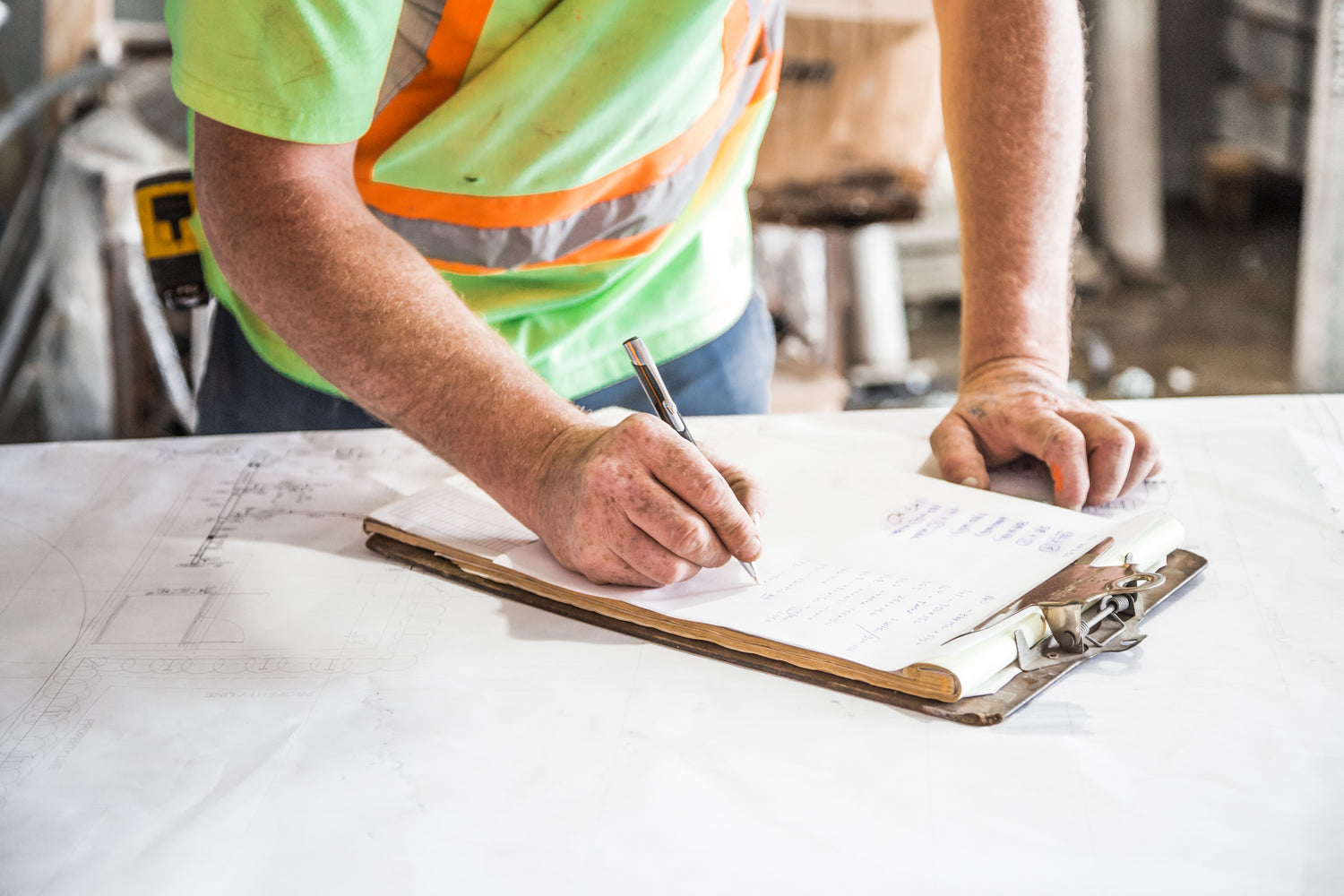
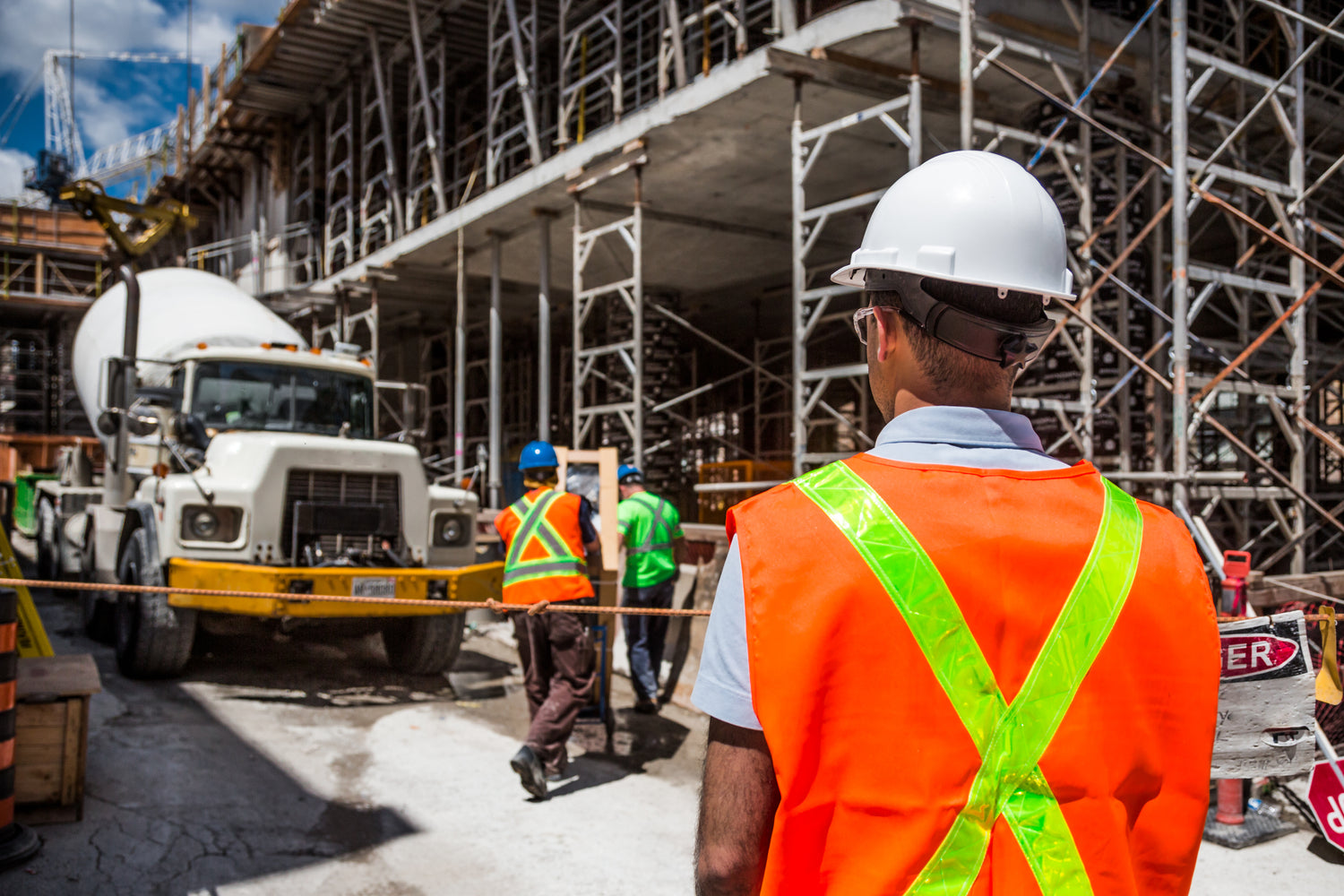
-
Improve Safety
Monitor construction sites in real time, reducing the need for workers to be in hazardous areas.
-
Cost-Effective
Save on resources and labor with automated aerial surveys and inspections.
-
Precision Data
Get accurate aerial data for better planning and decision-making.
Our Drone Services for Construction
We offer professional services with a quick turn around. If you're looking for a service that isn't listed, just let us know and we can look into a solution for you.
-
Construction Progress Monitoring
Regular aerial footage and progress tracking for project management.
-
Site Inspections & Safety Audits
Inspections of hard-to-reach areas, reducing risk and improving safety.
-
Construction & Surveying Data
Accurate volume calculations for stockpiles and excavation.
-
Orthophotos and topographic maps
3D models and point cloudsThermal imagesLiDAR data (with additional hardware)GNSS/RTK positioning for precision surveying.
-
3D Models and Point Clouds
Digital representations of physical spaces and structures, created from laser scans or photogrammetry, used for design, analysis, and planning in construction.
-
Thermal Images
Heat-mapped visuals that identify temperature differences, often used to detect insulation issues or equipment overheating on construction sites.
-
LiDAR Data
Laser-based technology that creates precise 3D models of terrain and structures, useful for site analysis and earthworks, requiring specialized equipment.
-
GNSS/RTK Positioning for Precision Surveying
Satellite-based positioning systems that provide centimeter-level accuracy for tasks like staking out foundations and aligning critical structures.
-
High-resolution aerial imagery
Aerial images to showcase project once completed.
Our Process
Understanding Your Project
1. Consultation
We understand your needs and tailor a drone solution to your project.
Define Deliverables
2. Planning
We create a detailed flight and safety plan ensuring minimal disruption to your project.
It's Time to Fly
3. Execution
Our certified drone operators capture high-resolution data, ensuring accuracy.
Receive Project Files
4. Delivery
Receive the data, images, videos and reports on time for informed decision-making.